Here are some overview renderings of Argyre Planitia and surrounding areas in the southern hemisphere of Mars.
I have added a lat/long graticule using the
Natural Earth graticule shapefiles, setting QGIS to tell them they are in Mars 2000 lat/long.
 |
| Argyre region, with MOC image mosaic overlaid by MOLA topography. |
 |
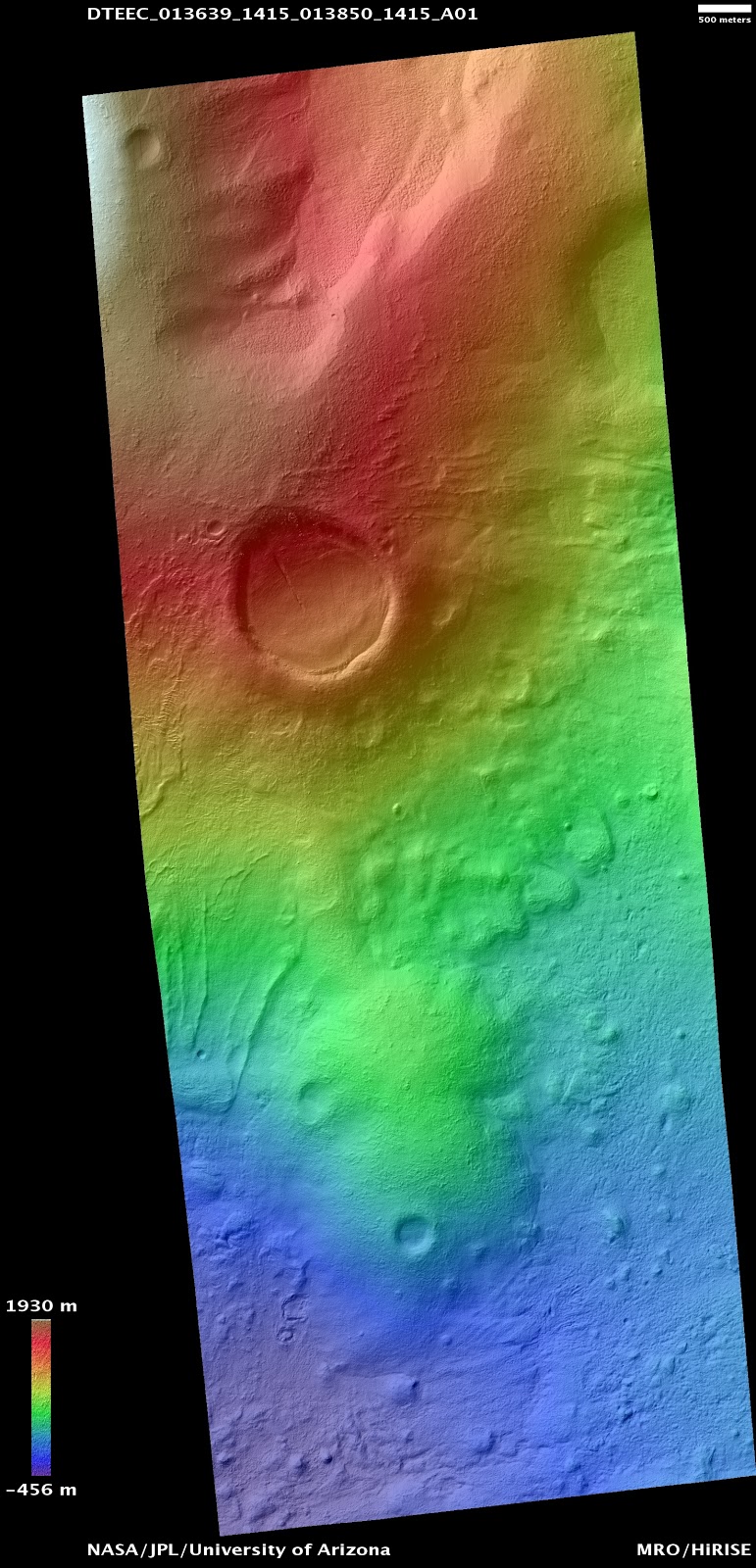
| The elevation colour ramp used for all of the Argyre HRSC tiles |
 |
| Background MOLA elevation ramp |
 |
| MOLA elevation alone. |
 |
| MOLA elevation blended with hillshade. |
I do not present anything like a comprehensive detailing of the glacier-like forms in this region, but here are a couple of interesting areas.
Baltisk Crater (55°W, 42°S)
 |
| HRSC nadir image in tile h0416. The HiRISE image at the left is PSP_007706_1375. |
 |
| With the classifier results. |
Nereidum Montes area (43°W, 37-38°S)
 |
| In HRSC tile h2625, two Souness GLFs on the rim of crater which also shows various channels. |
 |
| Classifier results. |
 |
| A little to the south of the previous image, several further Souness GLFs are found. This area contains a HiRISE anaglyph and DTM. The DTM coverage is outlined in yellow. |
 |
| Classifier results. |


No comments:
Post a Comment