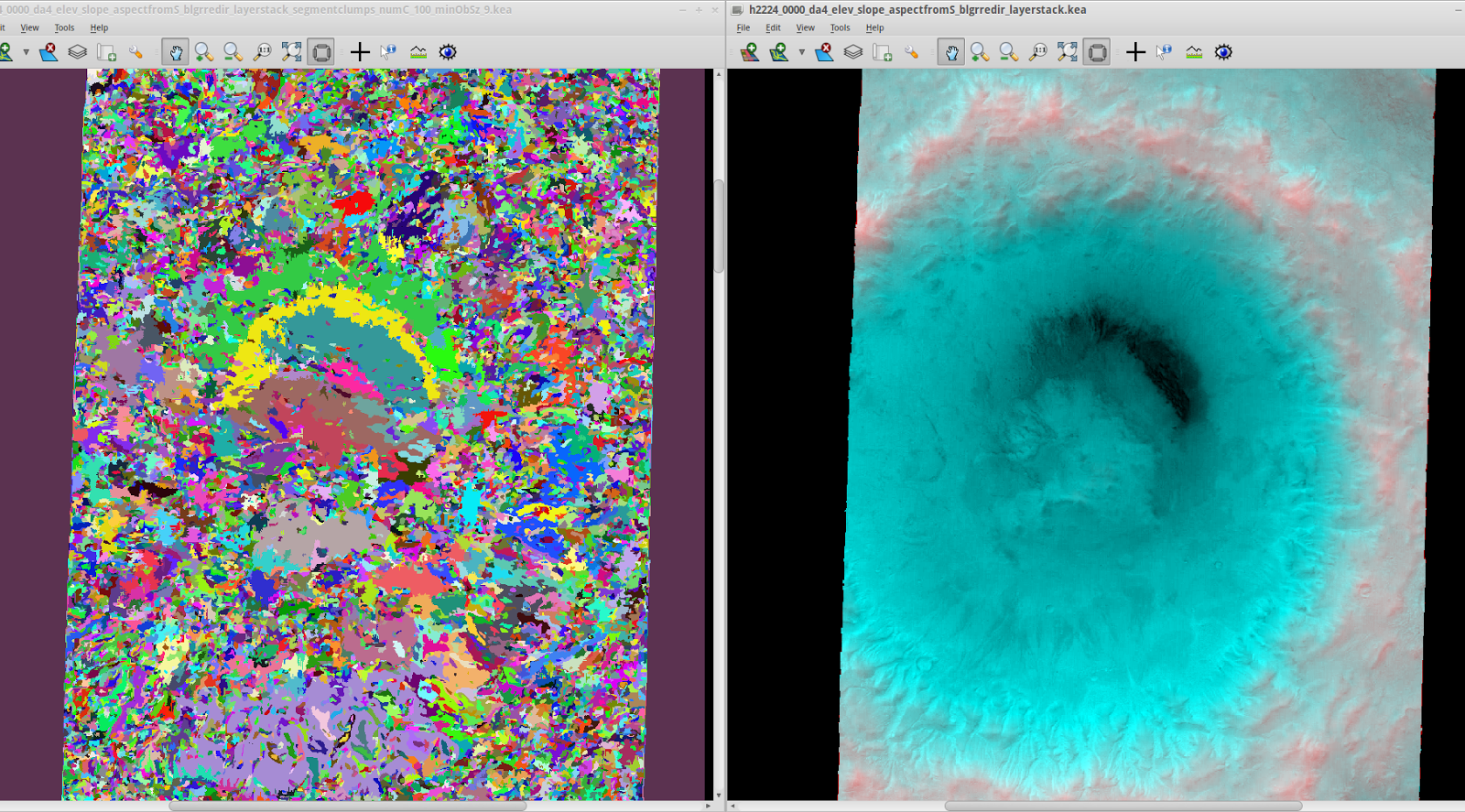
Here I have combined both topographic and image data from Mars Express High Resolution Stereo Camera, covering the area of the Martian crater Greg, which has been the subject of a recent
study, allowing RSGISLib to segment a layerstack with elevation/slope/aspect and 4 image bands (BGRI).
The right-hand panel below has the blue image band in both blue and green channels, with elevation in the red channel.
RSGISLib segmentation does seem to group certain areas together such as the crater floor, and gullies, but I have quite a long way to go before having a method to identify the glacier-like features automatically.
No comments:
Post a Comment