In a previous set of posts, I showed a summary map of the mid-latitudes of each hemisphere of Mars, showing the Mars Express HRSC tiles and the Souness glacier-like forms.
The QGIS project file for the southern hemisphere using only tiles with DTMs at resolutions 50m and 75m currently takes over 15 minutes to load, on a quad-core i5 PC with 32GB RAM.
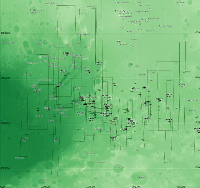
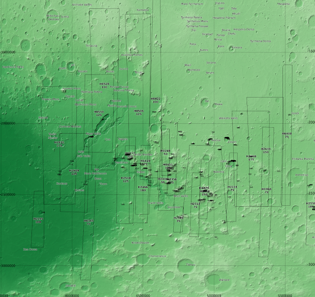
To make it more managable I cut it down to the region of Mars east of Hellas Planitia region of Mars. This allows me to add it a few more fields with lower resolution HRSC DTMs.
The overview looks like this:
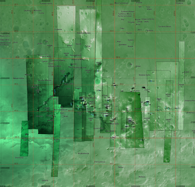 |
| Hellas Planitia is on the left (the terrain is intrinsically bright). Units are in metres in the equicylindrical projection at standard latitude of 40° (approx 2371000m). 1 degree of latitude is approx 60km. 1 degree of longitude is approx 45km at 40° latitude. |
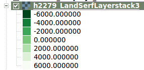 |
| HRSC DTM elevation colour ramp for the majority of fields (except a few within Hellas which start at -8000m) |
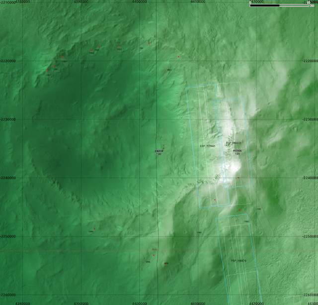 |
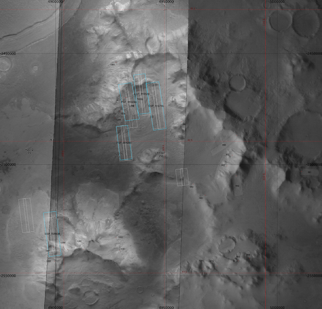
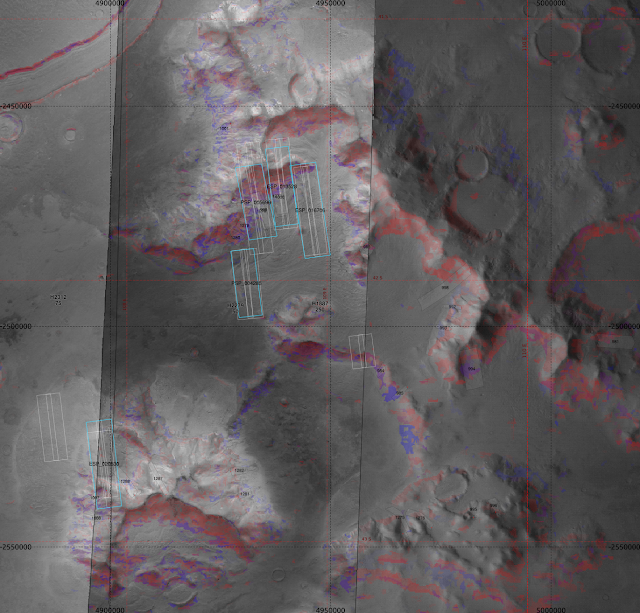
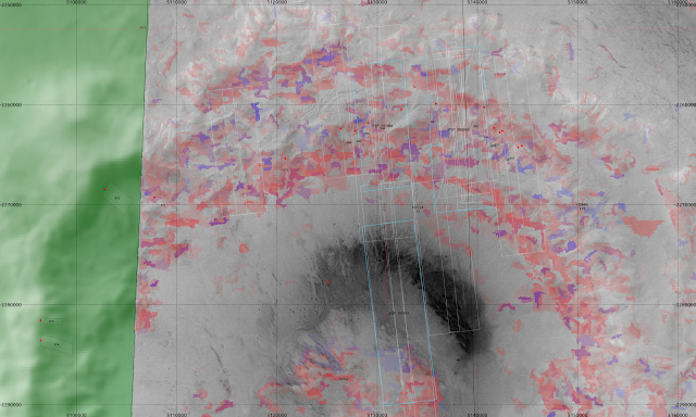
| A crater at ~ 97°E, 37.5°S, in the HRSC tile h6437. A large number of Souness GLFs are seen in a relatively small area around an eroded crater in Hellas Montes. There are several HiRISE anaglyphs: ESP_020860_1420, PSP_006672_1420, PSP_005670_1415. |
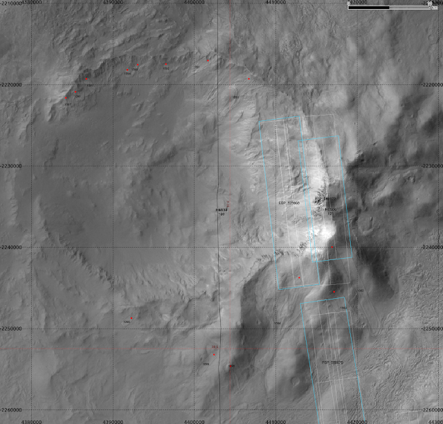 |
| Nadir image alone. |
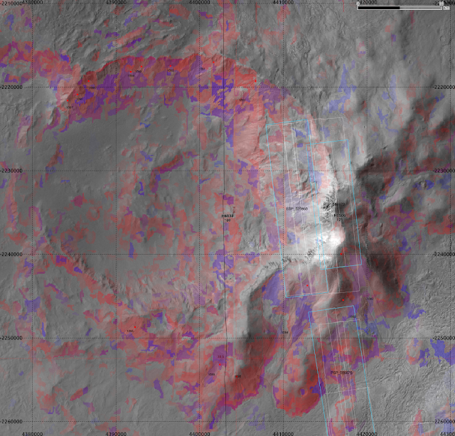 |
| The same region, showing the areas of high values of the classifier fuction for extent areas (blue) and head areas (red), overlaid of the nadir image for tile h6437. |
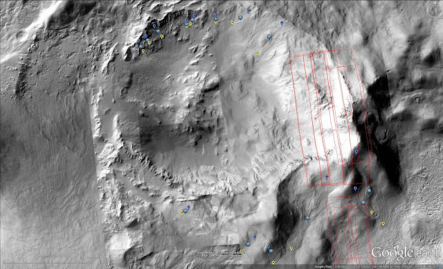 |
| Screenshot from Google Earth showing CTX imagery of the same area. |
Elevation and hillshade
One of the problems with the visualisation as it is, is that the green channel is overloaded, because of the way the greyscale nadir image is blended with overlaid topography encoded with a colour ramp.
Below I show a pure colour ramp for the elevation only, as well as the colour ramp overlaid with a hillshade (blended with 'Hard Light' in QGIS):
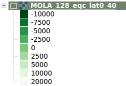 |
| The colour ramp used for elevation (m relative to datum) |
|
 |
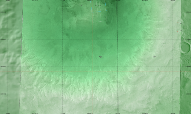
| Elevation only (MOLA/Mars Global Surveyor) |
 |
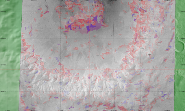
| Elevation with a hillshade layer blended. |
Near Reull Vallis
 |
| Nadir image |
 |
| Classifier function overplotted |
Greg Crater
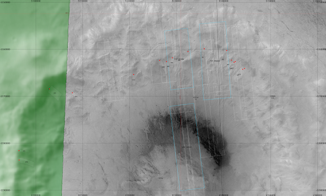 |
| HRSC nadir image |
 |
| With the classifier. |
 |
| The southern portion of Greg, showing gullies in the southern rim. |
 |
| With the classifier. |


No comments:
Post a Comment