In the
Souness et al. 2012 paper, a catalog is presented with the various glacier-like-forms identified.
In my analysis, I assume a constant channel width, which is not always a good assumption, and in a few cases, there are duplicates, or what appears to be a possible typographic error. There are only a few out of the 1309 which are likely to be affected.
I have identified some of these in the
spreadsheet at this link.
I show the count of Souness GLFs by the
regions I used earlier:
There are only relatively few that look like they have a typographical error, for example Souness 359, and Souness 1300:
 |
| Red dot shows 'head', white 'centre' and dark blue 'terminus' |
 |
| S1117 and S1301 are duplicates and S1300 appears to contain a typo |
I decided to go through systematically, and look at Souness objects that either looked odd in shape visually, or had a distance between the 'centre' recorded by Souness and the middle of the channel that was more than the channel width.
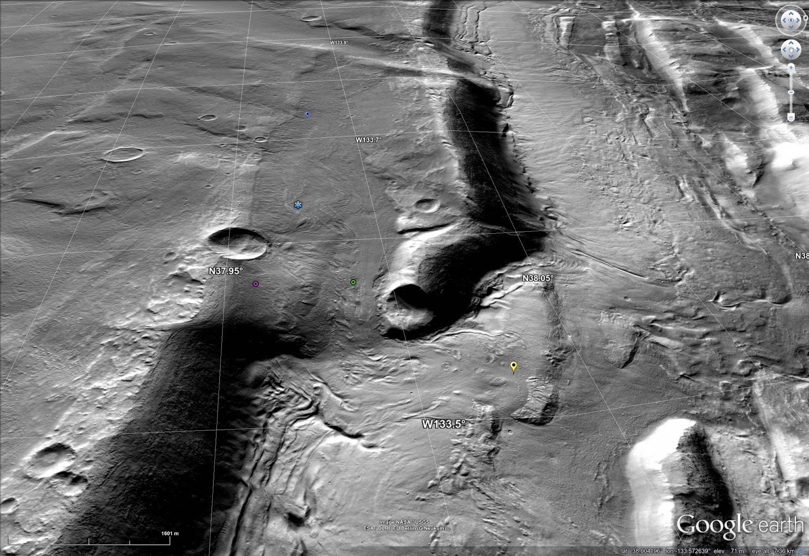
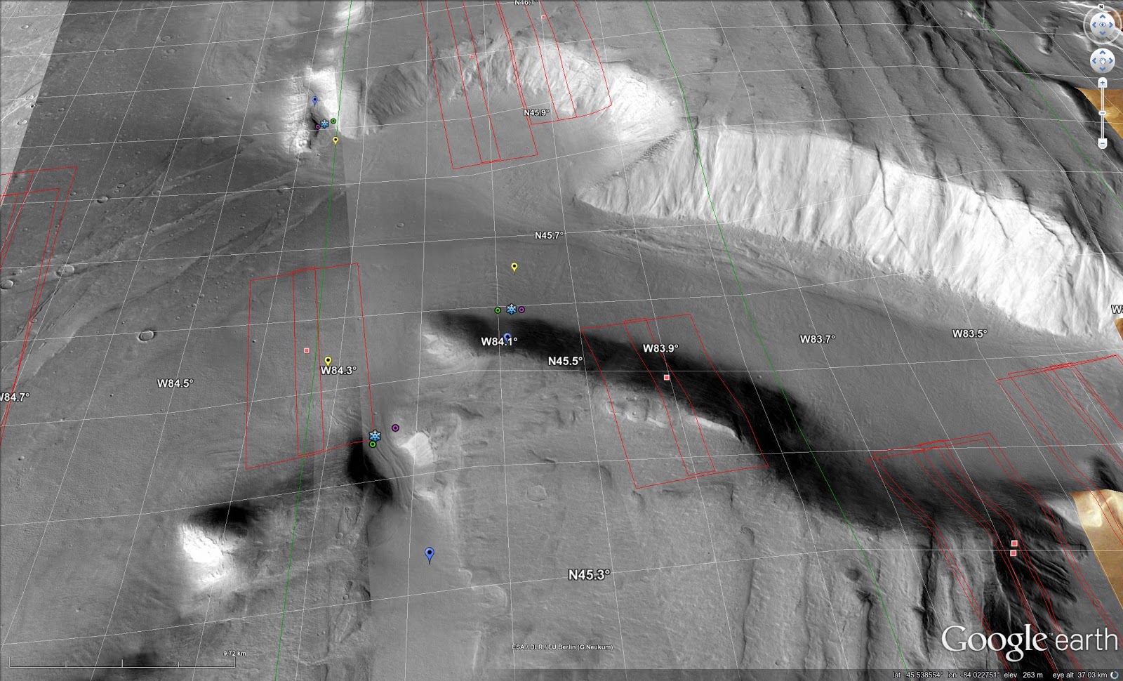
I below detail the individual Souness objects where there is some kind of query, either being a duplicate or centre out of the mid-channel. In Google Earth, I show heads in blue, termini in yellow, the 'centre' with a snowflake, and left and right mid-channel in magenta and green.
Overall, I don't think this on its own will have made a lot of difference to the classifier, since any DEM segments that overlap the extent would be chosen for the input, and a little more conservative 'extent' for those Souness GLFs that currently include non-glacial terrain would not likely make a decisive difference.
Northern Hemisphere
North of Olympus Mons
See also
previous post.
In this area, Souness objects 87, 87, 96 and 108 stand out as odd-shaped.
 |
| Location, with the four Souness objects noted highlighted in yellow. |
 |
| Souness 87 and 88 overlap significantly near the edge of h0037. Souness 91 and 92 are also visible. |
 |
| Oblique view in Google Earth showing S87, 88, 91 and 92. |
 |
| Souness 96 starts outside the HRSC tile h0037's area of coverage and joins what looks like a larger valley fill glacial form. The crater also appears to have glacial features infilling it, that are not catalogued by Souness. |
 |
| Souness 96 looking west with CTX imagery in Google Earth. |
 |
| Looking down on S96 with CTX imagery. There are other glacial like forms not catalogued by Souness since his intention was to catalogue analogues of valley-glaciers on Earth. In this area of Mars, recent (last few Myr) glacial activity is believed to be superimposed on an older landscape of the larger topographic forms. |
 |
| S108 is outside any HRSC DTM tile. |
 |
| The same area, in Google Earth. Note the slope liniae in the crater at lower-right. These may be the result of current episodic brine flows. |
 |
| Zooming in on S108, a slope line is seen on the slope constraining it topographically. |
Mareotis Fossae area
See also
previous post.
 |
| Souness 12 in context within HRSC DTM tile h5401. |
 |
| Souness 12 looking NW in an oblique CTX image mosaic. It is an interesting question why exactly Souness 12 is formed where it is when to the right gullies cover the slope instead. |
 |
| Souness 47 (left) and Souness 31 (right). 46°N, 82-85°W. |
 |
| Souness 44 at upper-left, with S43 and S45 nearer the centre. |
 |
| Souness 47. |
 |
| Souness 38 amid a glaciated landscape. |
 |
| Souness 31 and 32 (north to south). |
 |
| Souness 11, 12, and 14 within context showing Bayesian classifier result. |
 |
| Souness 47 (left) and Souness 31 (right) with S43, 44, 45, 38 and 32 also shown. See also same area in previous post. 46°N, 82-85°W. |
Deuteronilus Mensae
See also
previous post.
In this area S6, 590, 617, 618, 634, 693, 708, 720, and 724 either have a markedly off-centre 'centre' or are duplicates.
 |
| Souness 6. 30°N, 11°W in HRSC tile h1498. |
 |
| Souness 6 CTX images. |
 |
| The duplicated Souness objects S567/578 and S566/577 are shown to the right above. |
 |
| Souness 590 among several objects not covered by any HRSC DTM. |
 |
| The same GLFs as the previous image, showing CTX images via Google Earth. Perhaps there has been several glacial epochs in the 'recent' times of the last few Myr that have been superimposed on the longer-term formed topographic channel? |
 |
| Souness 617 and 618 among other GLFs along a topographic boundary. |
 |
| S617/S618 |
 |
| Souness 634 at a topographic boundary where it appears there is other glacially reshaped terrain not classified as Souness objects. |
 |
| S634 |
 |
| S634 in broader context. |
 |
| Souness 693 among other GLFs and at least one more uncatalogued example near the top of this field. |
 |
| S693 in context, looking west with CTX imagery. |
 |
| Souness 720 and 693 highlighted. |
 |
| S720 in upper-centre of image. |
 |
| S720. |
 |
| Souenss 708 and 707. |
 |
| Souness 724. |
 |
| S724 oblique view. |
Protonilus Mensae
See also
previous post.
 |
| Souness 337 and 338, along with some further Souness objects. ~ 36N, 57°E. |
 |
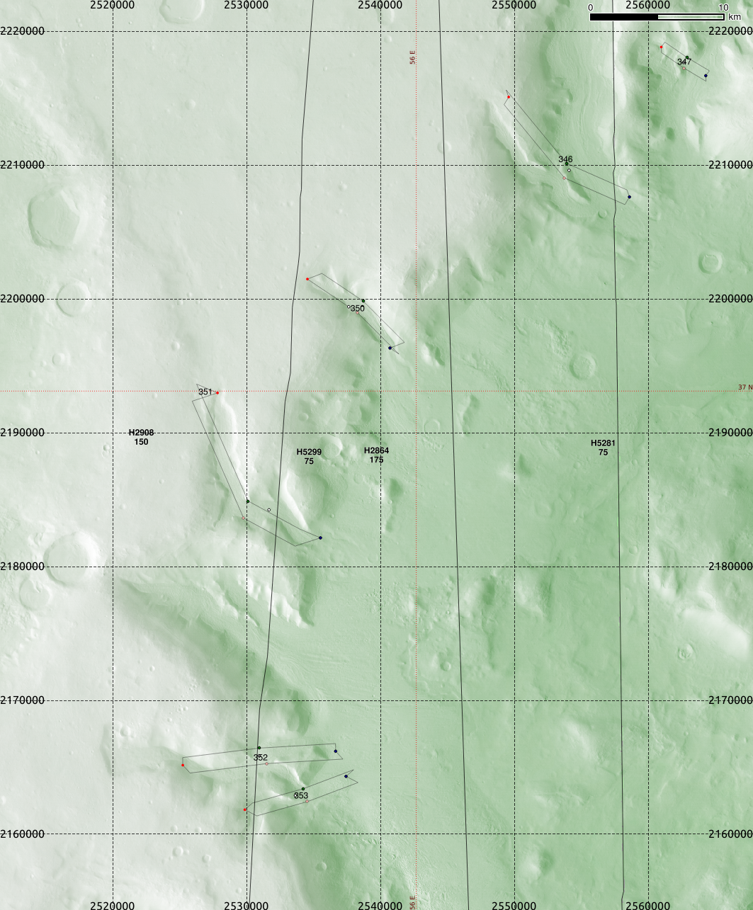
| Souness 351 shows an odd shape, and is here depicted with other Souness GLFs. S348 perhaps has a position error, if it is in fact a little to the SW of where it is plotted. ~ 37°N, 56°E. |
 |
| Visualising the Bayesian classifier Ln(K) for extents (blue) and 'head' areas (red). |
 |
| Souness 380. 53°E, 40.5°N. |
 |
| Souness 380, 389 and 390 in context along with a number of others. |
 |
| Souness 389, 390. |
 |
| Souness 400, 401, 402, 403, 404. ~ 52°E, 40°N. |
 |
| Souness 445 shows an off-centre centre, where two other Souness GLFs are found on a mesa at 49°E, 46°N. |
 |
| Souness 472, 473 and 474. |
 |
| Souness 491. |
Nilosyrtis Mensae
see also
previous post.
 |
| Souness 204 and 205. |
 |
| Souness 230 and 231 merging, along with 2 other Souness GLFs pictured. |
 |
| Souness 245 at the low latitude of 28°N, where most of the surrounding valleys are non-glaciated, or perhaps where glaciers have now ablated. |
 |
| Souness 247 is off-centre, shown here with some surrounding GLFs. |
 |
| Souness 260. |
Phlegra Montes
see also
previous post.
 |
| Tiles h1423 and h1412, showing S150 at top, the duplicates S154 and S158 near top, and S156 near the bottom. |
 |
| Souness 156. |
 |
| Duplicates S154 and S158. |
 |
| S156 in an oblique view looking W showing CTX imagery in Google Earth. |
 |
| A higher view showing S156 and the duplicates S154/158. |
 |
| S156, and S159 amid a complex glacial landscape. |
 |
| S156 and S159 |
The southern hemisphere fields are shown in a
post to follow.