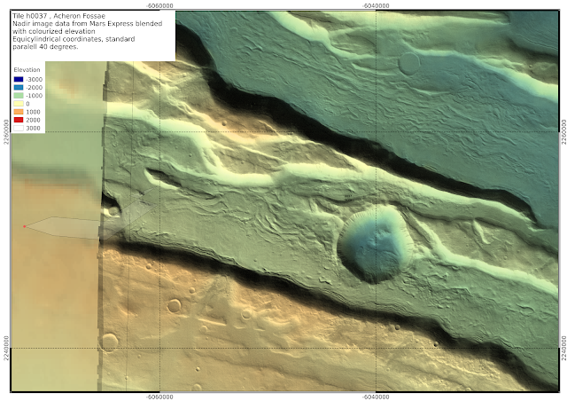
Here are some more maps from this same area, first focusing on the Acheron Fossae region of the h0037 tile.
I scale the elevation colourization locally:
Below, I zoom in on several areas containing several Souness catalogued GLFs, using either colourized elevation, or shading in polygons with ln(K_head), ln(K_ext), and ln(K_ctx) greater than 12, 10 or 10 respectively:
 |
Souness catalogued GLF number 96 merits a closer examination to have a look what is going on with the polygon.
|
h1210
h1232
h5380
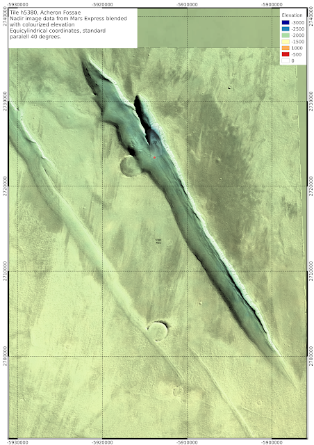 |
| It looks a little to me like the glacier filled the crater before it receded downwards (large version) | | | | | | | |
|


No comments:
Post a Comment